The five weeks on campus flew by so fast. It was pretty intense but very fruitful in terms of covering  all the basics and foundations necessary to travel and absorb India as it presents itself. One of the courses required students to make a final presentation in the form of a poster on a region of India (assigned to them before the summer). This involved several weeks of research, data gathering, GIS application, spatial analysis and finally presentation of the results. Here are some of the pictures from the presentation. This almost wraps up the time on campus. Next is departure for India.
Showing posts with label GIS. Show all posts
Showing posts with label GIS. Show all posts
Friday, October 7, 2011
Wrapping up the term before departure…

Monday, October 3, 2011
India - Poster Presentation Day
Today our students made a presentation of their GIS class projects in the form of a poster. It was well worth their time and effort. In spite of the delay in getting the posters printed, the session went very well with participation by Furman community members. Individual projects were focused on a variety of themes, but overall, it was clear that an analysis of data from all the projects were necessary to answer any single question in a complete way. For example, any question related to poverty can only be answered when we closely analyze education, natural resource distribution and the wealth of the state, political infrastructure, environmental quality, and natural hazard potential among other things. It was fascinating.
Please check out the posters in electronic form here.
Click on the photo above to visit the complete album.
Please check out the posters in electronic form here.
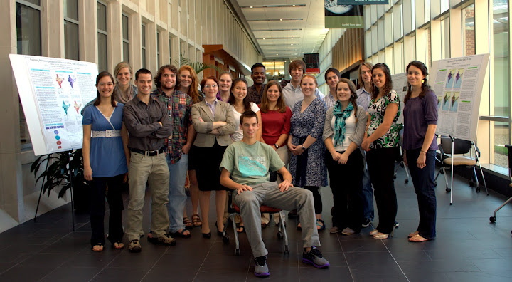
Click on the photo above to visit the complete album.
Subscribe to:
Posts (Atom)